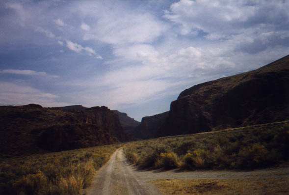
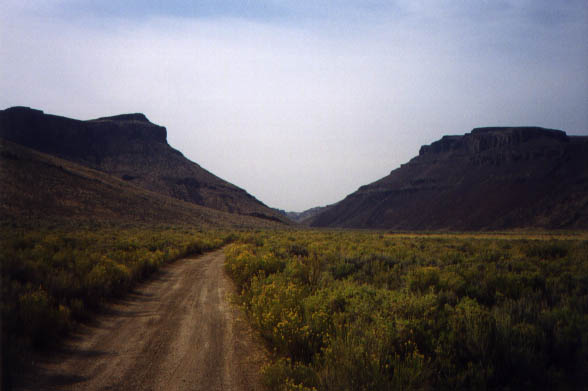
3:00pm, 49.5 miles. The crappy idle problem seems here to stay. I tried to fix it, to no effect. I'm in the middle of the canyons now. They are very nice indeed. Red walls, rising straight up. Quiet here too.
I was intrigued. And terrified. I had no choice. I had to do it.
Do not attempt this trip unless you are prepared to survive on your own for several days in case of emergency. There is no one to pull your ass out of the fire. While suitable for mountain bikes or horses, the road through High Rock Canyon is impassable for regular street cars.
<-- back to the first page, back to the index, or ahead one page -->
 |
3:00pm, 49.5 miles. The crappy idle problem seems here to stay. I tried to fix it, to no effect. I'm in the middle of the canyons now. They are very nice indeed. Red walls, rising straight up. Quiet here too. |
|
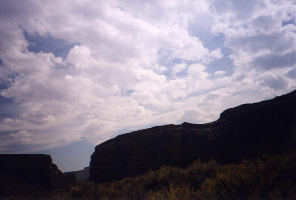
These photos don't do it justice. The canyon in this picture is too narrow to take photos of once you are in it. It's barely wide enough for the car to clear the stream on one side, and the canyon wall on the other. It's easy to imagine the wonder, surprise and fear the wagon bourne emmigrants must have felt passing through here while hoping to find the promised land somewhere in California or Oregon. |
|
 |
I missed most of the best shots through this section because if I didn't keep my foot on the gas the engine would die because of some transient carb problem. The car was starting fine through this section of the trip, but the week before I drained the battery three times, leading me to fear turning off the engine any place lacking someone to give me a push start. This section of "road" was a slick slab of rock with stone cairns occassionally positioned to point to the next set of ruts. |
| The information from the BLM talks about emmigrant graffiti being visible along the road. I was not able to find any myself, but this segment of the trail seems to be a logical place. If you should manage to get all the way out here, I'd suggest locating a guidebook that describes the history of this place before you get here. | 
|
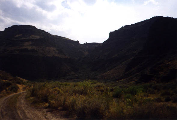 |
According to what I've read the local indians sometimes used the cliffs to mount attacks on travellers. Also, there are supposed to be caves in these cliffs that travellers explored and left graffiti. |
|
3:30pm 51.1 miles. The car is idling right again. Yay! At home I will find someone to teach me how to work on the carb. Despite the beauty of the canyons, I felt a sense of relief to be out of the tight confines of the rock walls. |
|
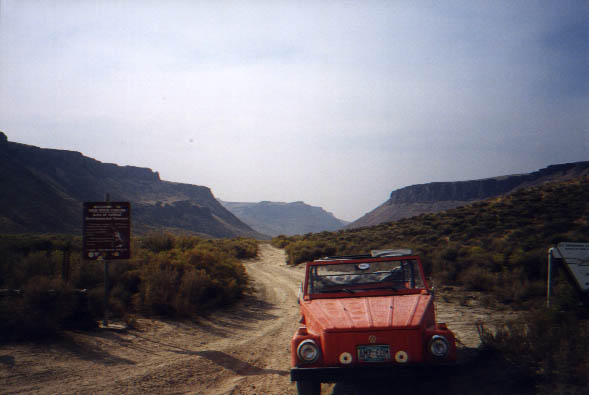 |
3:40pm 51.7 miles. I made it! The marker sign for the end of the canyon. "This canyon is enclosed in places by high bluffs of rocke. Some of them 4 or 500 feete high nearly perpendicular... war those bluffs come so near together the rode vary bad so that it gave us some trouble to pass." -- James Bardin, 7/30/1855 And here my troubles began. The map on the sign shows two forks in the road. The free map from the BLM shows one. Ladies and Gentlemen, there are three roads branching off at the juncture, none of them marked. |
|
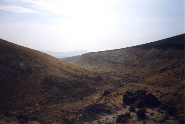
4:10pm 55.7 miles. Around some rocky road on Fly Canyon (also on the Applegate trail) the carb stuck again. Following John Muir's advice from the Idiot's Guide to Keeping Your Volkswagen Alive I struck the carb bowl with the handle of my hammer and now it's working! Still mighty pretty out here. The carb quit again after jumping a cow catcher. This time the hammer trick didn't work, so we continue on. Later I learned that this stretch of trail from the Black Rock desert to High Rock was one of the most difficult. Not a drop of water, and the travellers had to lower their wagons into this canyon by wrapping ropes around boulders, using them like winches to lower their wagons to the canyon floor by hand. |
|
<-- back to the index, back to the first page, or on to the next section -->